August 21, 2018 by Joanna Adams www.adventureadams.com
Right now, a lot of the park is under fire and what’s not seems to be covered in an oppressive blanket of smoke. I am so thankful we at least got one more hike in before the smoke came.
There are so many great peaks in Glacier. I picked this one out because it seemed like a good beginner peak without a lot of technical spots or intense climbing.
We started our trek early. . . I always do when going to Glacier. The swarms of people seem to start congregating early and with the crazy intense heat we’ve been having lately, it is great to get a head start.
By the time I got the trail head at Lunch Creek, I had already downed a full cup of coffee so felt quite ready to take on the journey. The climbers trail at Lunch Creek is super easy to find.
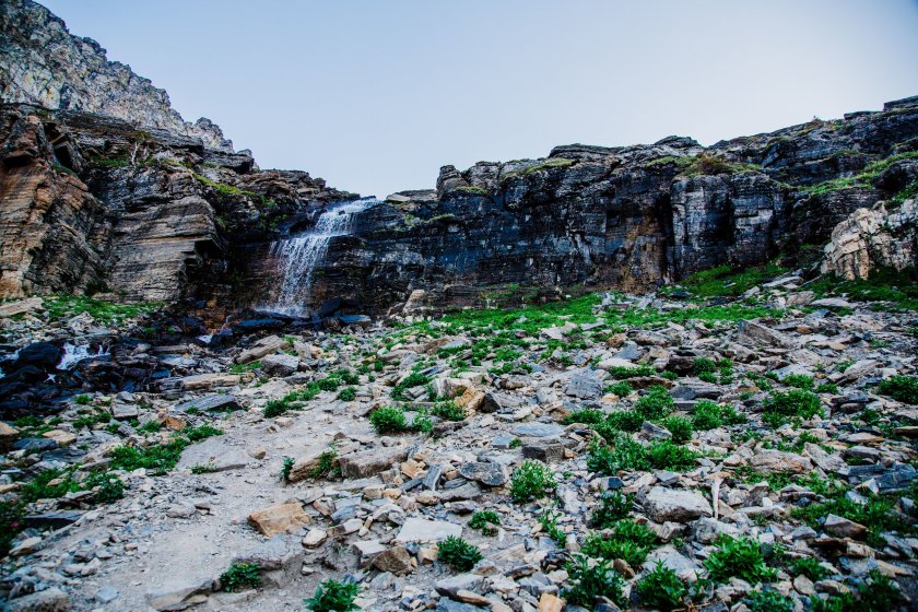
Once along the climber’s trail, it quickly meanders up the edge of a waterfall.
The trail is very well marked at this point and you will want to ascend the rocks to the right of this waterfall.
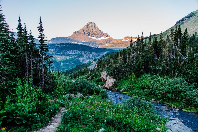
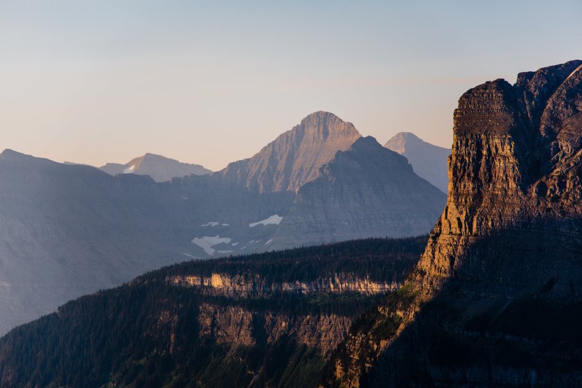
First light on the mountain sides.
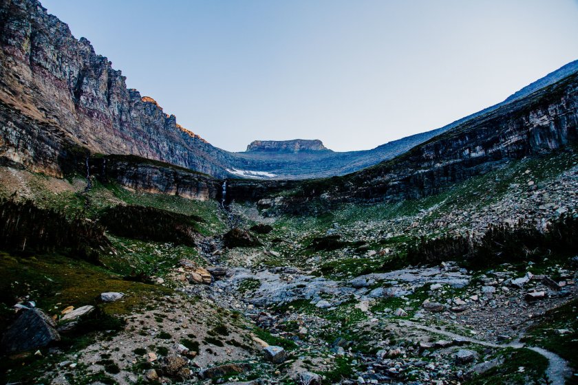
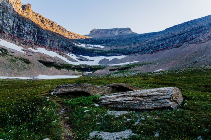
Once above the waterfall, you ascend into this basin.
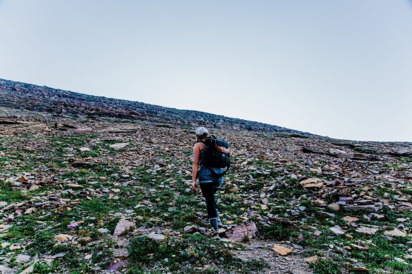
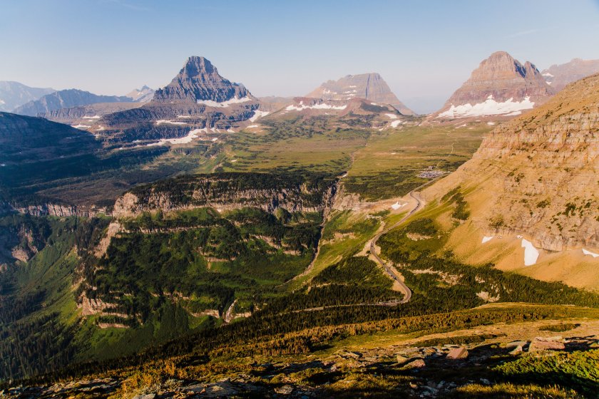
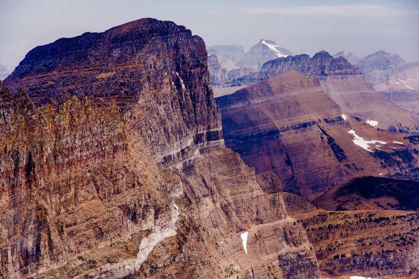
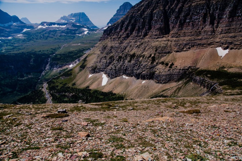
Once at this point, the trail kind of fades into the mountain. We traveled to the far right or Piegan Mountain. The mountain you are looking at straight ahead is Pollock Mountain.
About half way zigzagging up the mountain, looking back towards the parking lot.
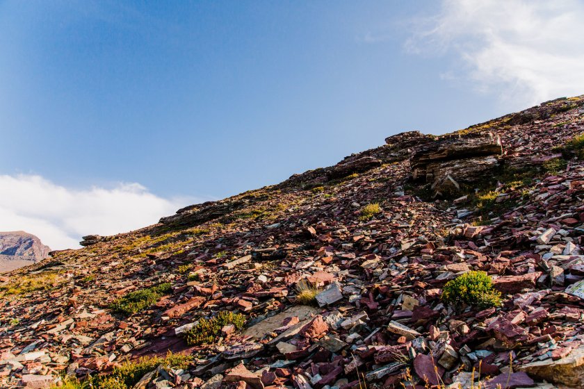
The route up is mostly shale at this point and although it is exerting, is not too steep a walk.
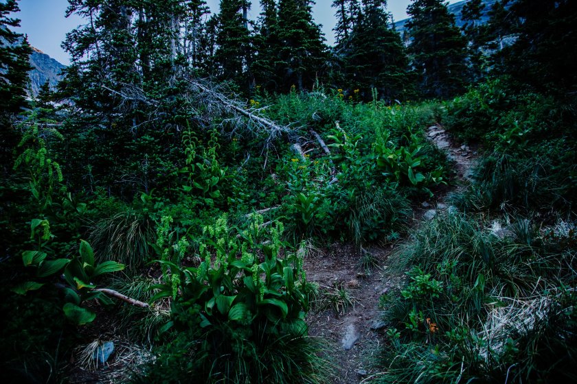
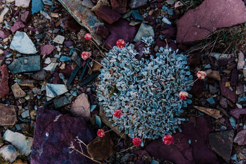
I love the colors of the plants attempting to survive at these elevations. Like can I put this color scheme in my house?
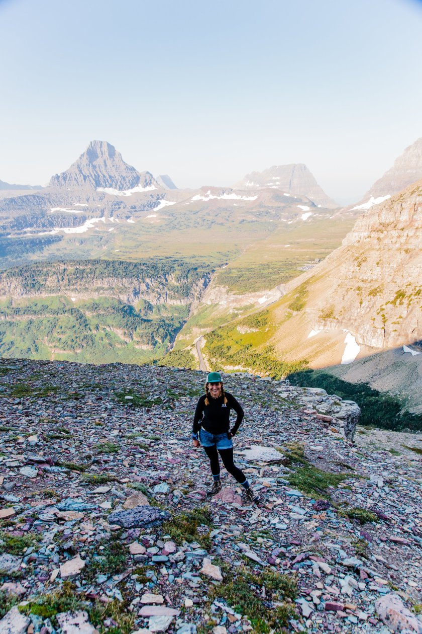
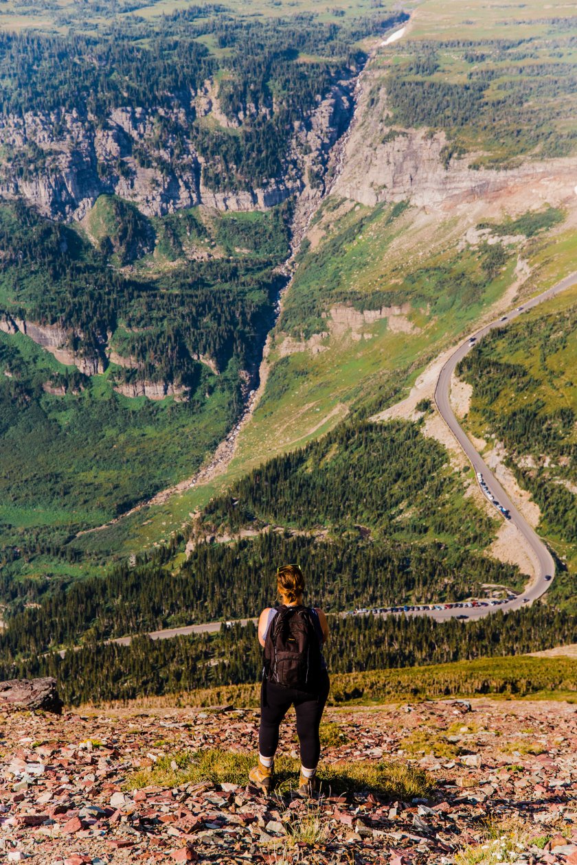
Ascending higher and watching the road become smaller.
This mountain, like most, can be a bit deceptive. It looks so close for a while and you think you’ve made it to the top when you haven’t. When I popped over to find this view on the false summit, let’s just say, it was alright.

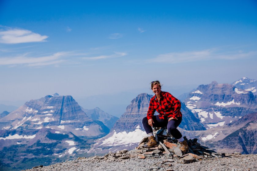
The true summit was a breeze from here. Slight incline, kind of moon-like surface.
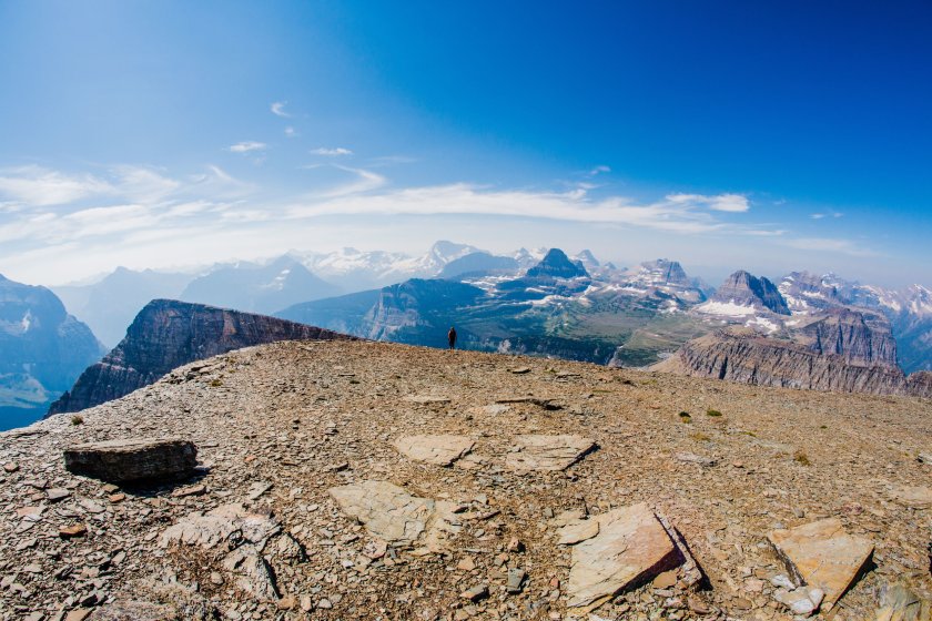
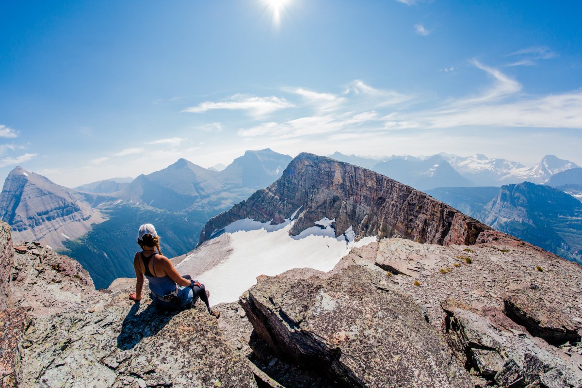
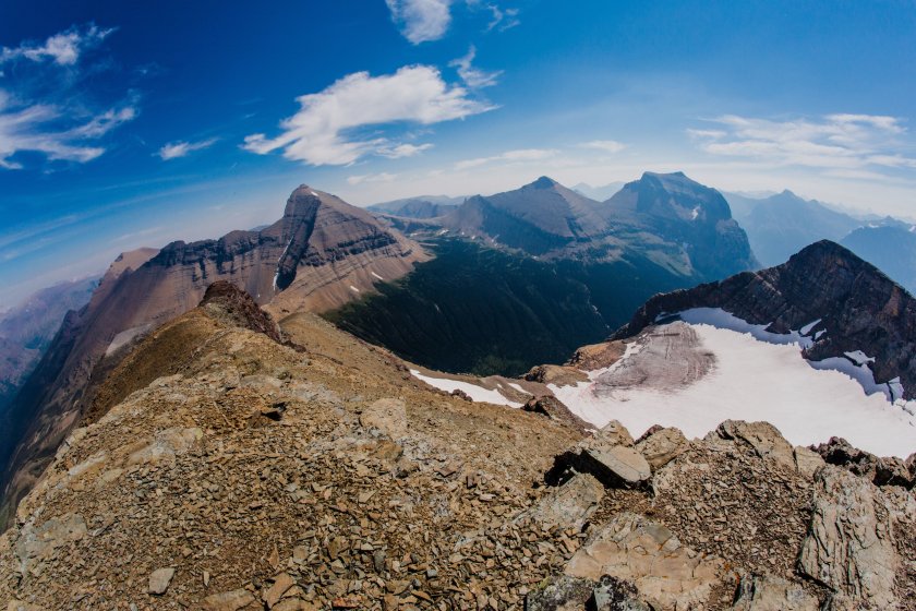
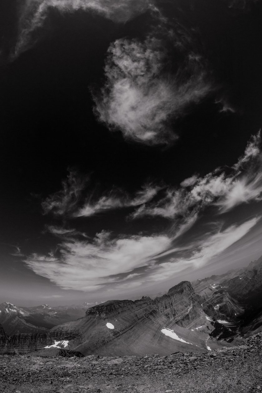
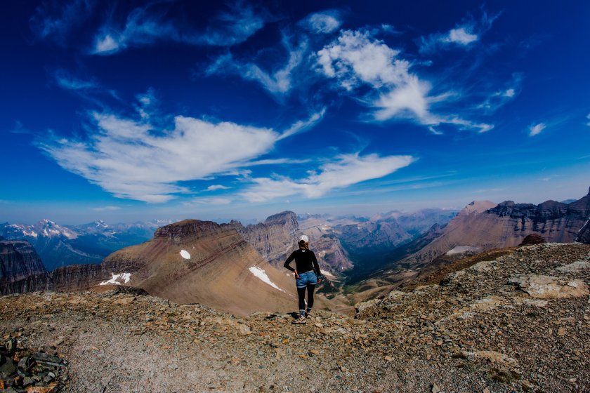
The views from the top. . . I could drink in this all day.
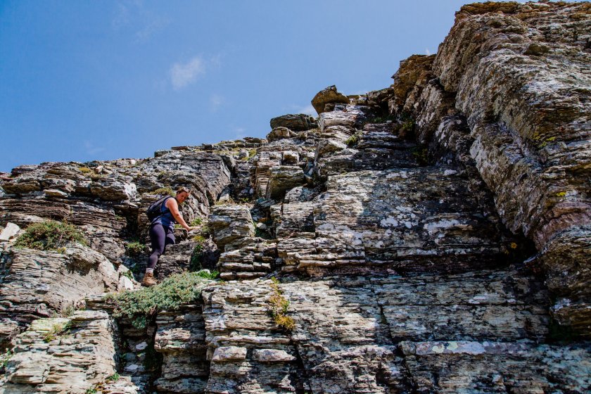
On the way back down we took a slightly more direct route and went through a few cliff bands (which was faster and easier). I feel like this route might even be easier for the way up. There were a few carins even (although these were hard to spot).

All in all this hike was pretty radical and I’d definitely recommend it. I really don’t know the miles on this one. I think the route we took going up was a little further than the research I was doing because we went so far to the right on the ascent. The research I was doing said between 1.5-3 miles one way and the elevation gain is around 3000 feet.
Joanna is a freelance photographer in Kalispell, MT
Follow The Glacier Blog on WordPress.com
